Project Description
Project Deliverables
NDVI & thermal index maps, 3D point cloud, digital surface model, and high-definition orthomosaic map.
Project Details
- Aircraft: DJI Matrice 210 RTK, DJI Phantom 4 RTK
- Flight Altitude: 350+ feet AGL
- Mission Type: Aerial grid with thermal sensors
- Images Captured: 1,658
- Imagery Type: RGB Photo, Thermal, IR, Near-IR
- Total Project Area: Approximately 300-acres
- Flight Airspace: Class G
- Location: Maricopa, Arizona
- Project Category: Water Use & Plant Health

Project Description
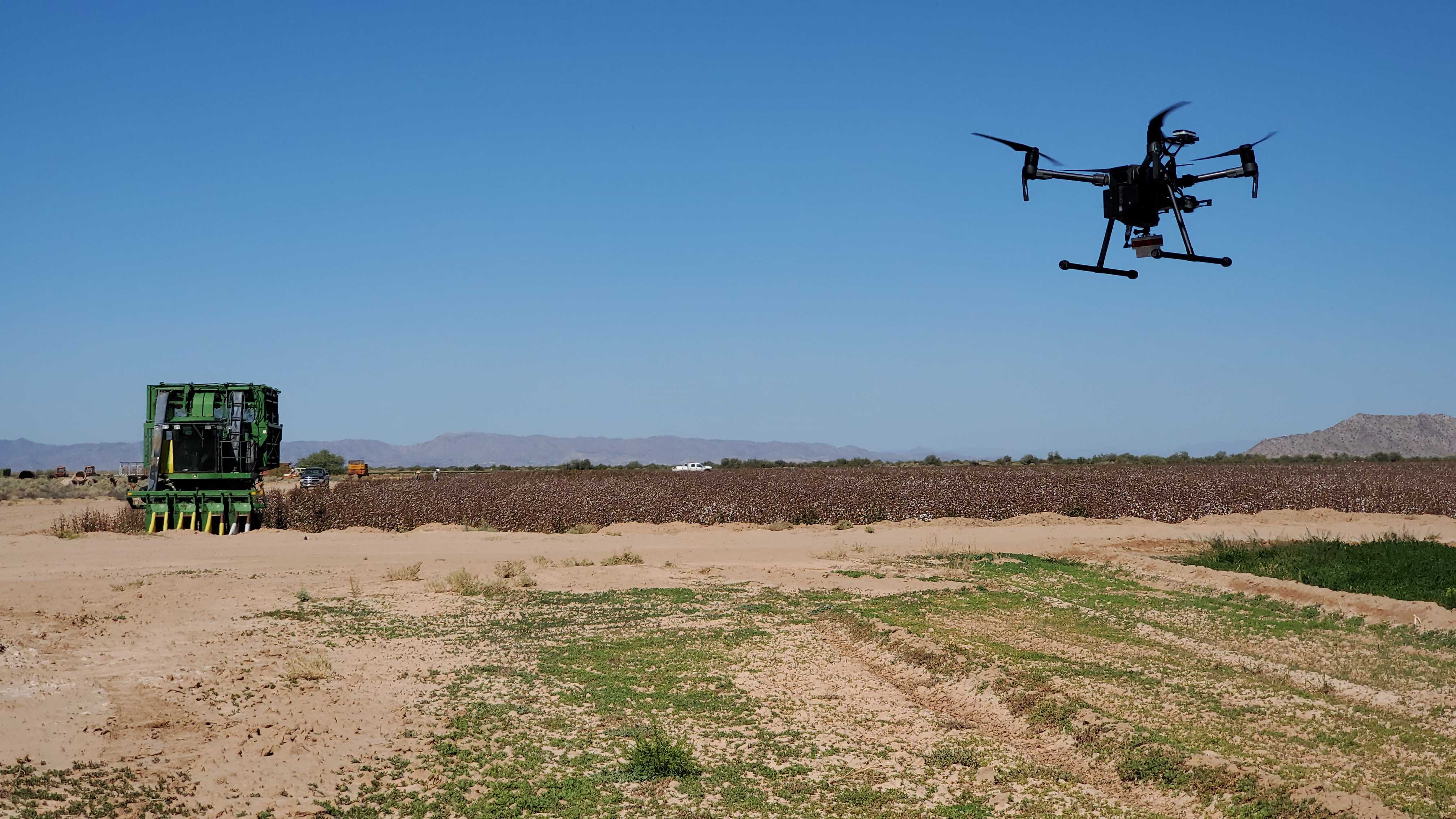
EWL Aerial Tech utilizes the DJI Matrice 210 RTK and MicaSense Altum to take thermal and multispectral images of a 300-acre alfalfa and cotton farm in Maricopa, Arizona. The sUAS flies at 350+ feet AGL in a grid mission during the middle of the day, when sunlight is at its most intense. The site is flown once-a-month with the thermal sensor, giving EWL the ability to analyze the field’s health over time.
Thermal sensors can identify potential plant degradation before the naked eye can. The MicaSense Altum utilizes a radiometric thermal camera with five individual high-resolution narrow bands, giving plant-based images much more detail than a standard RGB image. With high-accuracy sensors and the ability to produce Normalized Difference Vegetation Index (NDVI) and thermal index maps within hours, EWL Aerial Tech can save farm owners more time and money than ever before.

The image [on the left] shows an NDVI map for the project site, which measures the difference between near-infrared and red light. Healthy vegetation reflects near infrared light and green light, while it absorbs red light. This means that an NDVI map can be used as a sign of overall plant health, where the green regions represent healthy vegetation and the red regions indicate areas of potential vegetation degredation. The sensors utilized by the Matrice 210 RTK are able to detect plant reflectance at the margins, meaning that the we can identify regions of poor plant health before they can be seen with a standard RGB image.
Related Projects
Skousen Farm Analysis
Project Deliverables NDVI & thermal index maps, 3D [...]


